Your whole race, planned.
UltraEdge turns courses, checkpoints, crew, and gear into one race plan. Built by an ultra runner.
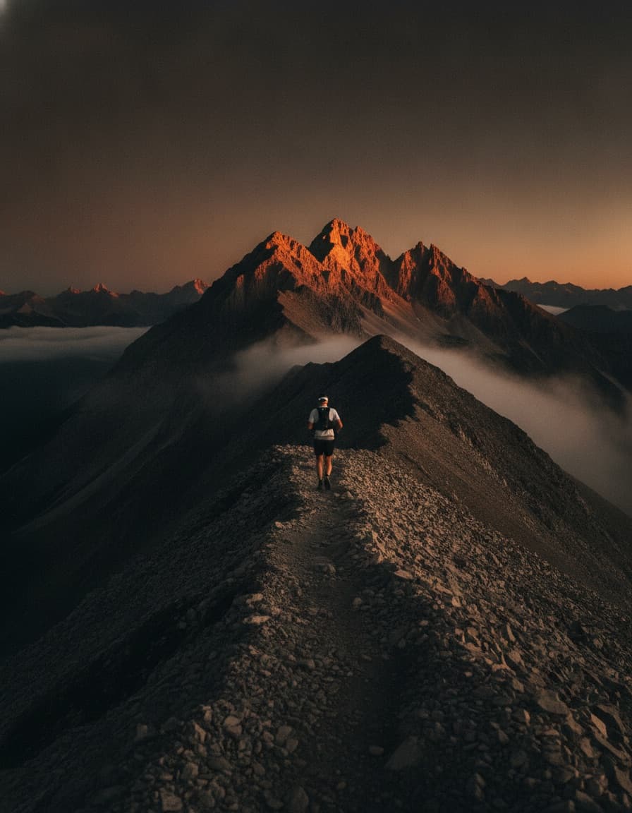
See the course before you run it.
Load the race GPX and study every climb. Scrub the profile below for a preview of the viewer in the app.
Sample 50-mile mountain course
50.0 mi with +10,470 ft of climbing
- Start0.0 mi
- Creek Crossing8.2 mi
- The Bluff16.5 mi
- Sawmill24.9 micrew
- Ridge Camp33.4 micrew
- River Flats42.1 mi
- Finish50.0 mi
- Import a GPX file and see the full route on a map
- Elevation profile with labeled axes and touch scrubbing
- Distance markers at the interval you choose
- Switch between miles and kilometers, feet and meters
Everything between start and finish.
Race plans that hold up at 3 a.m.
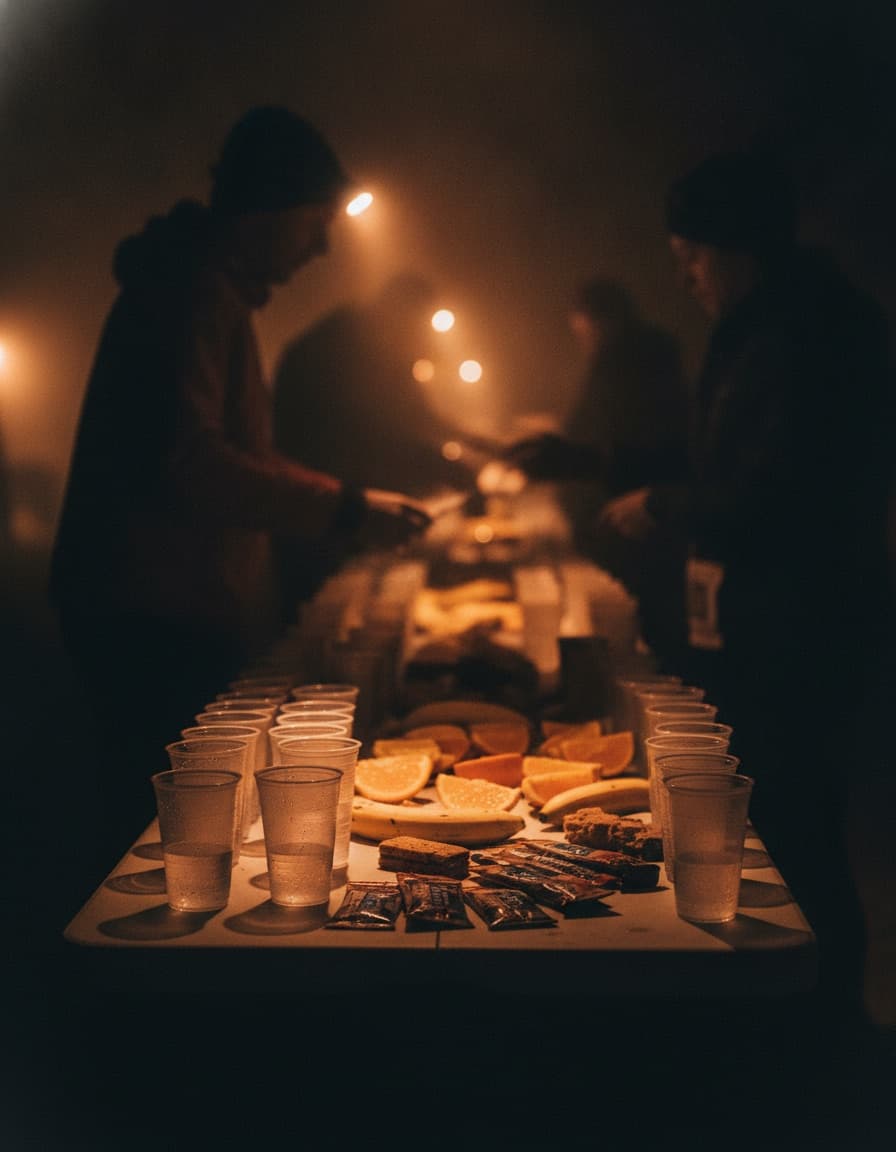
Checkpoints and cutoffs
Distance markers, cutoff times, pacing, supplies, and medical support for every aid station on the course.
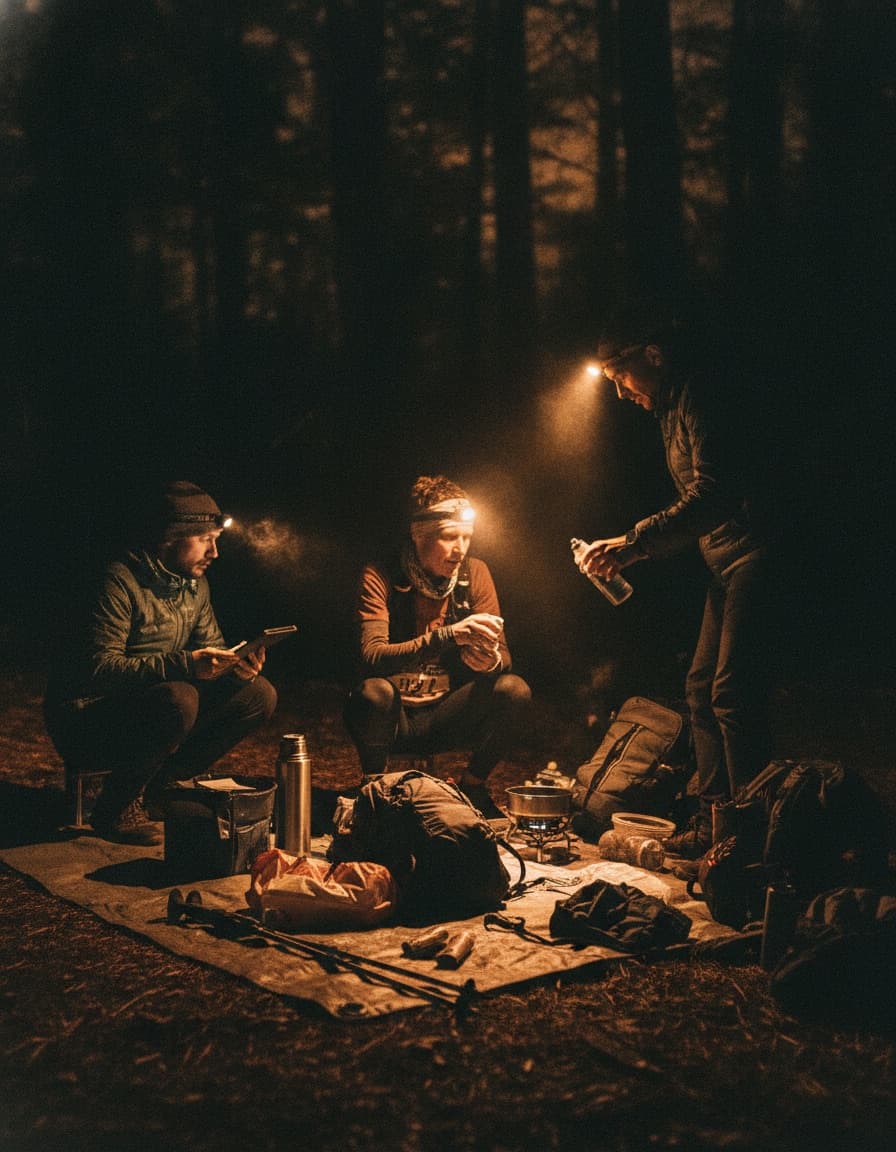
Crew coordination
Assign crew to specific aid stations with meeting points, driving directions, and responsibilities.
Drop bags
Pack lists per drop bag, tied to the checkpoint where each one will be waiting.
Gear lists
Track required and optional gear per race, so mandatory-kit checks never surprise you.
Built for race day, not the couch.
Works without a signal
Plans are stored on the device, so the plan is still there when the trail has no coverage.
Dark mode by default
Readable at a 4 a.m. start line and inside a dim crew van.
Cloud backup
Optional sync keeps every race plan backed up and restorable across devices.
By an ultra runner, for ultra runners.
UltraEdge is open source and in active development for iOS and Android. Join the waitlist and we will email you when it ships. No spam, just the launch.